Skip to content

Breaking Tri-Cities WA News

News Stories for Richland, Kennewick, Pasco, West Richland and Surrounding Communities

Menu
Menu

What a Fire Weather Watch Means for Columbia Basin Residents

Posted on by admin


The National Weather Service in Pendleton has issued a Fire Weather Watch for much of Washington and Oregon this weekend.

Fire Weather Watch is in Effect Saturday Between 11 AM and 11 PM

 Windy conditions will develop with overlapping low relative humidity values Saturday across the Columbia Basin and Eastern Wallowa County.

Expect high winds of 15 to 25 mph with gusts of up to 40 mph at times, with critical relative humidity. Any fire that develops will spread rapidly.

Outdoor burning is NOT recommended.

Read More: Oregon Man Faces Charges for Illegally Catching Protected Sharks

Follow Us on Nextdoor

A Fire Weather Watch Is Issued When a Combination of Factors Are Present:

• Strong winds – will quickly spread flames
• Low relative humdity – dry air that dries out vegetation
• Dry fuels – grass, brush, or forests that are already dry enough to burn easily
• High temperatures – can make fires more intense

98.3 KEYW logo

Stay Aware of Weather Updates

Washington Emergency Management Division via Facebook

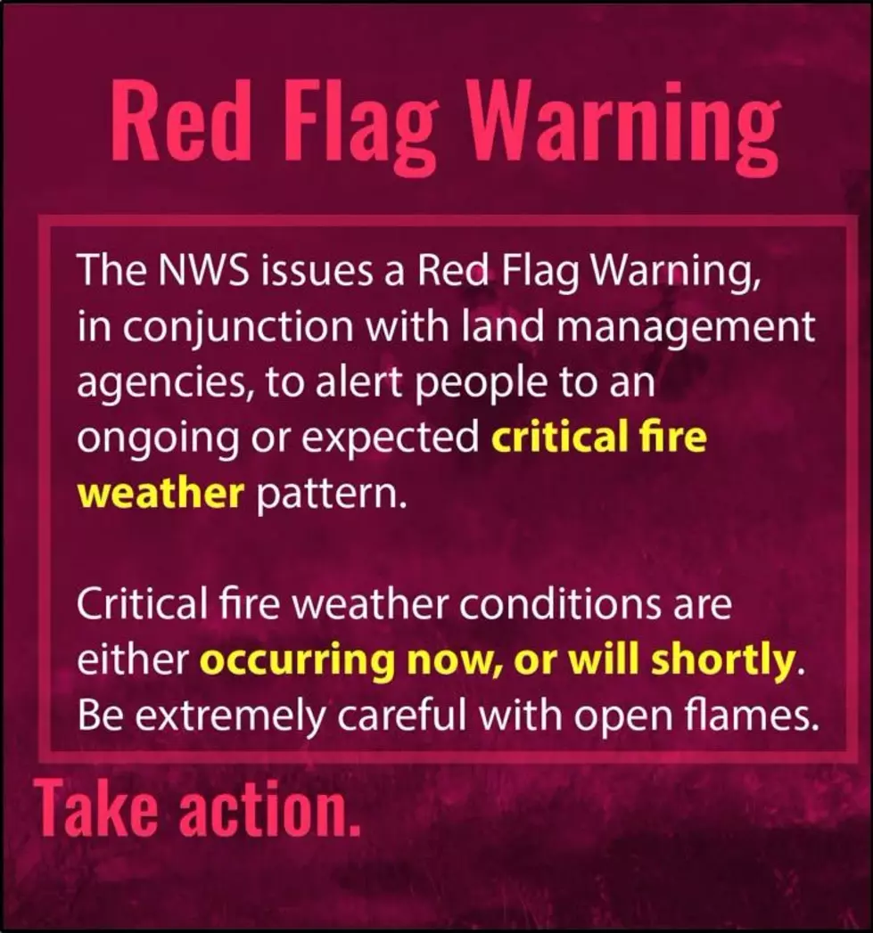
Should conditions become more threatening, the Fire Weather Watch may be upgraded to a Red Flag Warning, which means critical fire weather conditions are occurring or expected very soon.

LOOK: The most extreme temperatures in the history of every state

Stacker consulted 2021 data from the NOAA’s State Climate Extremes Committee (SCEC) to illustrate the hottest and coldest temperatures ever recorded in each state. Each slide also reveals the all-time highest 24-hour precipitation record and all-time highest 24-hour snowfall.

Keep reading to find out individual state records in alphabetical order.

Gallery Credit: Anuradha Varanasi

LOOK: The most expensive weather and climate disasters in recent decades

Stacker ranked the most expensive climate disasters by the billions since 1980 by the total cost of all damages, adjusted for inflation, based on 2021 data from the National Oceanic and Atmospheric Administration (NOAA). The list starts with Hurricane Sally, which caused $7.3 billion in damages in 2020, and ends with a devastating 2005 hurricane that caused $170 billion in damage and killed at least 1,833 people. Keep reading to discover the 50 of the most expensive climate disasters in recent decades in the U.S.

Gallery Credit: KATELYN LEBOFF


Source link

Get a daily summary email:
Powered by follow.it

Lorem ipsum dolor sit amet, consectetur adipisicing elit, sed do eiusmod tempor incididunt ut labore et dolore magna aliqua. Ut enim ad minim.

Tri-Cities WA News is supported by our audience, if you click and purchase through a link on our site, we may earn an affiliate commission.

©2026 Breaking Tri-Cities WA News | Design: Newspaperly WordPress Theme