As the firefighters make headway on the fires throughout the pacific northwest, mother nature helps extinguish the flames by providing cooler temps and light wind to blow the smoke out of the valleys; it can still be troublesome for drivers getting to their destinations!
Ideally, if you don’t need to drive, then simply don’t. But that’s not an option for many. So if you do need to go, make sure you’re in the know before you hit the road.
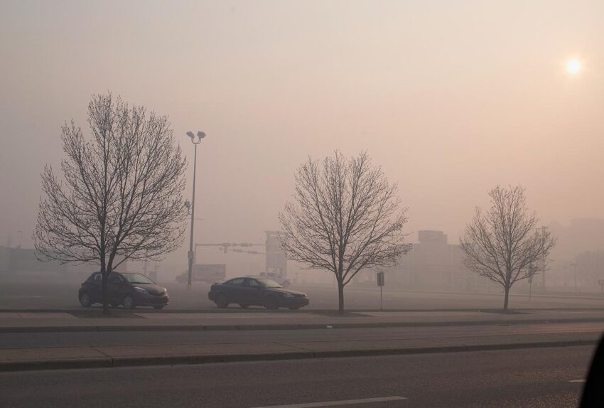
cars driving from Ellensburg to Yakima, Washington through smoky valley
The Washington State Department of Transportation shared a few important links to keep handy before and while you travel, especially during fire seasons.
CHECK OUT: Washington Highway Listed As One Of The Country’s Must-Drive Roads!
The Three Websites To Remember Before You Travel:
A real-time “Travel Center Map” detailing road construction, fires, back-ups, delays, detours, and wrecks. Make sure to bookmark: https://wsdot.com/Travel/Real-time/Map/
Washington State Department of Transportation Travel Map
The WSDOT’s mobile App. Very handy to have on your phone, ready to go when you’re on the go. Please remember not to use your phone while driving! Information on WSDOT’s App can be found at this link: https://wsdot.wa.gov/travel/mobile-app-and-social-media
Washington State Department of Transportation mobile app in app store page
And, if you want to get updates sent right to your email, the WSDOT has a way to do that as well. To sign up for their E-mail Updates, you can go here:
https://public.govdelivery.com/accounts/WADOT/subscriber/new
After publishing this article, listener Vic Rohret messaged us and shared an app that he enjoys. The app titled EPA AIRNow is an app that “increases public access to information about air quality all year, including during wildfires.“
There’s also a brand new map from the Department of Ecology to show you where air quality and smoke is across the state.
Please be safe while you travel, and be in the know before you go.
See the Must-Drive Roads in Every State
Gallery Credit: Sarah Jones
RANKED: Here are the most popular national parks
Gallery Credit: Hannah Lang
Got a news tip? Email us here.