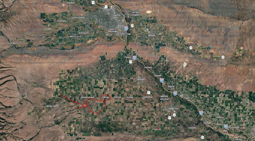
No reports of damage or issues, but for a few seconds things rattled southwest of Yakima. Officially it was 7.3 miles down, and lasted a total of 1 minute.
The US Geological Survey Confirmed the Quake
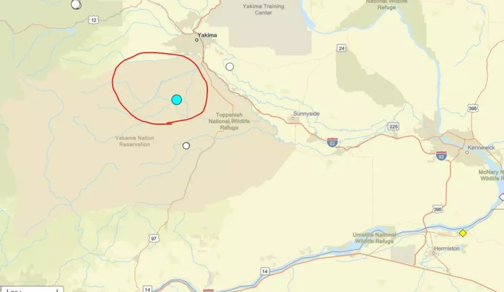
The United States Geological Survey (USGS) says their seismographs recorded a 3.3 scale earthquake, centered to a location about 3.1 miles south-southwest of Harrah. It’s a small area about 19 miles southwest of Yakima. The area is circled in red in our image.

USGS says it takes a quake of 4 or 5 or higher to cause damage or other issues. USGS says they received reports from as far away as Kennewick and British Columbia. Officials say it depends on the type of quake, it can send vibrations for hundreds of miles. This USGS map shows location.
Are We Near Any Faultlines?
Geologists say the Columbia Basin and Yakima Valley sits high atop the earth’s crust, unlike the Cascadia Subfault off the Pacific Coast. So, we do get occasional crust quakes. Also, there’s local areas, including the Wallula Gap, that show evidence of previous quake activity.
There was also a 6.0 level quake near Walla Walla back in 1936. Much of the activity comes from Tectonic plate grinding of shifting. Others, such as what happened around Mt. St Helens in early 1980 before the eruption, were caused by magma and lava moving to the surface.
While we can, and occasional do have, noticeable quakes–and some have had a good jolt, we’re not like California, with its San Andreas Fault.
USGS and other sources say over the last ten years, there have been several thousand small tremors recorded in Eastern WA, but the vast majority were 2.0 level or less, meaning most of us never felt them.
TIPS: Here’s how you can prepare for power outages